Blacks in Baltimore Under a "Persistent Surveillance System": Unaccountable Cops & Perverse White Contractor Have Been Using Aerial Cameras - Like Google Earth with TiVo capability
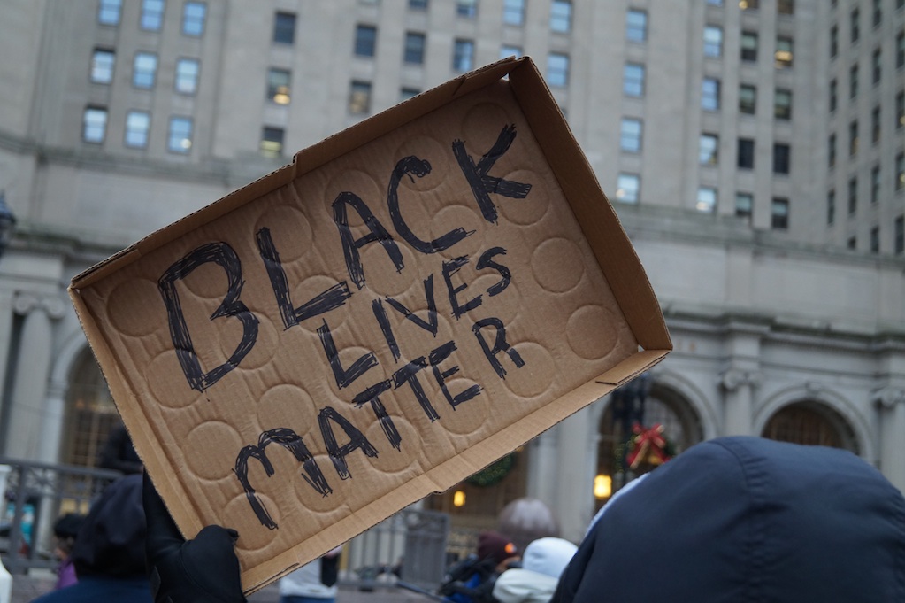
/"There is nothing worse than believing you are being observed by a third party unnecessarily" [watch the black probot in video] From [HERE] The sky over the Circuit Court for Baltimore City on June 23 was the color of a dull nickel, and a broad deck of lowering clouds threatened rain. A couple dozen people with signs—“Justice 4 Freddie Gray” and “The whole damn system is guilty as hell”—lingered by the corner of the courthouse, watching the network TV crews rehearse their standups. Sheriff’s officers in bulletproof vests clustered around the building’s doors, gripping clubs with both hands.
Inside, a judge was delivering the verdict in the case of Caesar Goodson, the only Baltimore police officer facing a murder charge for the death of Freddie Gray. In April 2015, Gray’s neck was broken in the back of a police van, and prosecutors had argued that Goodson purposefully drove the vehicle recklessly, careening through the city, to toss Gray around.
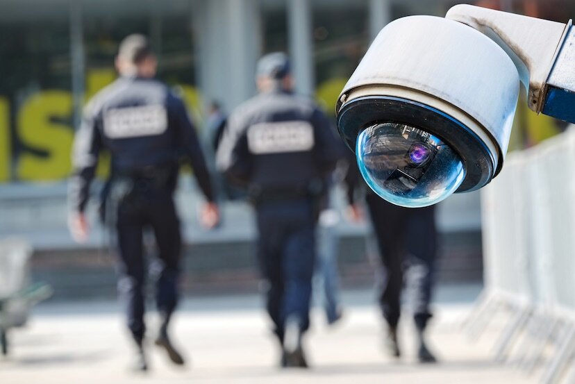
The verdict trickled out of the courthouse in text messages: not guilty, all counts. Ralph Pritchett Sr., who’s spent each of his 52 years in Baltimore, stood on the sidewalk among the protesters. He chewed on a toothpick and shook his head slowly. In a city with more than 700 street-level police cameras, he wondered, shouldn’t the authorities have had video of Gray’s ride?
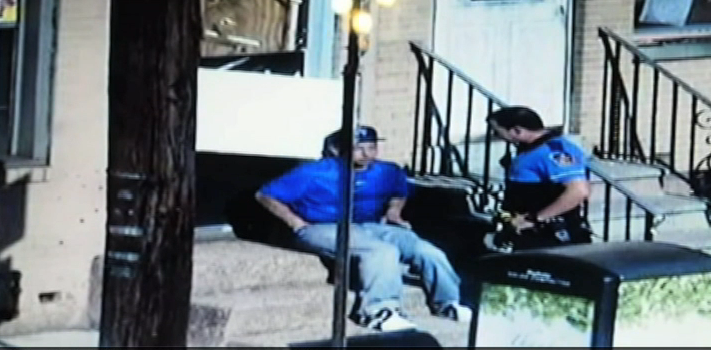
“This whole city is under a siege of cameras,” said Pritchett, a house painter who helps run a youth center in a low-income, high-crime neighborhood called Johnston Square. “In fact, they observed Freddie Gray himself the morning of his arrest on those cameras, before they picked him up. They could have watched that van, too, but no—they missed that one. I thought the cameras were supposed to protect us. But I’m thinking they’re there to just contradict anything that might be used against the City of Baltimore. Do they use them for justice? Evidently not.”
Pritchett had no idea that as he spoke, a small Cessna airplane equipped with a sophisticated array of cameras was circling Baltimore at roughly the same altitude as the massing clouds. The plane’s wide-angle cameras captured an area of roughly 30 square miles and continuously transmitted real-time images to analysts on the ground. The footage from the plane was instantly archived and stored on massive hard drives, allowing analysts to review it weeks later if necessary.
Since the beginning of the year, the Baltimore Police Department had been using the plane to investigate all sorts of crimes, from property thefts to shootings. The Cessna sometimes flew above the city for as many as 10 hours a day, and the public had no idea it was there.
A company called Persistent Surveillance Systems based in Dayton, Ohio, provided the service to the police, and the funding came from a private donor. No public disclosure of the program had ever been made.
Outside the courthouse, several of the protesters began marching around the building, chanting for justice
A half block from the city's central police station, in a spare office suite above a parking garage, Ross McNutt, the founder of Persistent Surveillance Systems, monitored the city's reaction to the Goodson verdict by staring at a bank of computer monitors. "It's pretty quiet out there," he said. The riots that convulsed the city after Gray was killed wouldn't be repeated. "A few protesters on the corner, and not much else. The police want us to keep flying, but the clouds are getting in the way." [see the McNutt video here]
McNutt said something about not being able to control the weather, pretending to shrug it off, but he was frustrated. He wanted to please the cops. Since this discreet arrangement began in January, it had felt like a make-or-break opportunity for McNutt. His company had been trying for years to snag a long-term contract with an American metropolitan police department. Baltimore seemed like his best shot to date, one that could lead to more work. He's told police departments that his system might help them reduce crime by as much as 20 percent in their cities, and he was hoping this Baltimore job would allow him to back up the claim. "I don't have good statistical data yet, but that's part of the reason we're here," he said. McNutt believes the technology would be most effective if used in a transparent, publicly acknowledged manner; part of the system's effectiveness, he said, rests in its potential to deter criminal activity.
McNutt is an Air Force Academy graduate, physicist, and MIT-trained astronautical engineer who in 2004 founded the Air Force's Center for Rapid Product Development. The Pentagon asked him if he could develop something to figure out who was planting the roadside bombs that were killing and maiming American soldiers in Iraq. In 2006 he gave the military Angel Fire, a wide-area, live-feed surveillance system that could cast an unblinking eye on an entire city.
The system was built around an assembly of four to six commercially available industrial imaging cameras, synchronized and positioned at different angles, then attached to the bottom of a plane. As the plane flew, computers stabilized the images from the cameras, stitched them together and transmitted them to the ground at a rate of one per second. This produced a searchable, constantly updating photographic map that was stored on hard drives. His elevator pitch was irresistible: "Imagine Google Earth with TiVo capability."
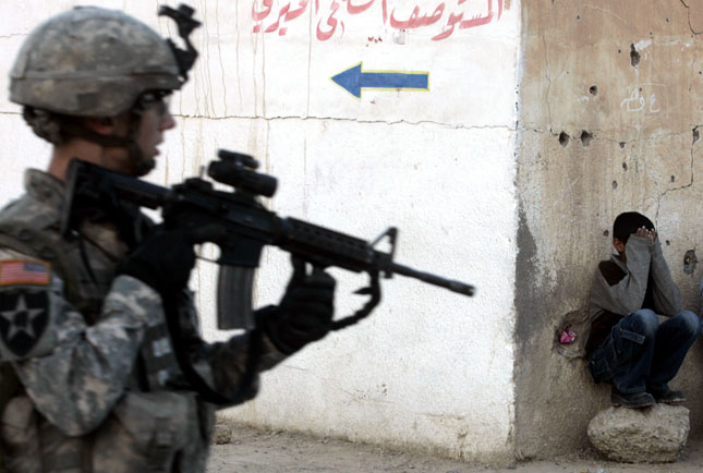
The images weren't perfect. Analysts on the ground could see individual cars moving through the streets, but they couldn't tell what make or model they might be. Pedestrians were just pixelated dots; you couldn't distinguish a man from a woman, or an Iraqi civilian from an American soldier. Individual recognition, however, wasn't the point; any dot could be followed backward or forward in time, which opened up all sorts of investigative possibilities.
If a roadside bomb exploded while the camera was in the air, analysts could zoom in to the exact location of the explosion and rewind to the moment of detonation. Keeping their eyes on that spot, they could further rewind the footage to see a vehicle, for example, that had stopped at that location to plant the bomb. Then they could backtrack to see where the vehicle had come from, marking all of the addresses it had visited. They also could fast-forward to see where the driver went after planting the bomb—perhaps a residence, or a rebel hideout, or a stash house of explosives. More than merely identifying an enemy, the technology could identify an enemy network.
McNutt demonstrated the prototype to a group of Marines at a California base in 2006. "They called up their general," McNutt recalls, "and when he saw it, he said, 'I need this, and I need it right now—in Fallujah.'"
Eventually another military unit took control of the project and completed the development of Angel Fire at the Los Alamos National Laboratory in New Mexico. In 2007 the technology was deployed to Iraq. Angel Fire was eventually upgraded with all-weather and nighttime capabilities and then used as the basis for another system, called Blue Devil, which coupled wide-area cameras with narrow-focus zoom lenses in the same package.


![[Image]](http://cryptome.org/2012-info/israel-gaza-kills/pict112.jpg)
![[Image]](http://cryptome.org/2012-info/israel-gaza-kills/pict129.jpg)
![[Image]](http://cryptome.org/2012-info/israel-gaza-kills/pict111.jpg)
![[Image]](http://cryptome.org/2012-info/israel-gaza-kills/pict109.jpg)
![[Image]](http://cryptome.org/2012-info/israel-gaza-kills/pict108.jpg)
